Free Photos > Brazil Photos > Sao Paulo Photos > Mario Covas Beltway near Sao Paulo, Brazil (21/24)

To view or save this photo in High resolution, just click the photo to see the full image(the full image is much higher quality and not pixelated).

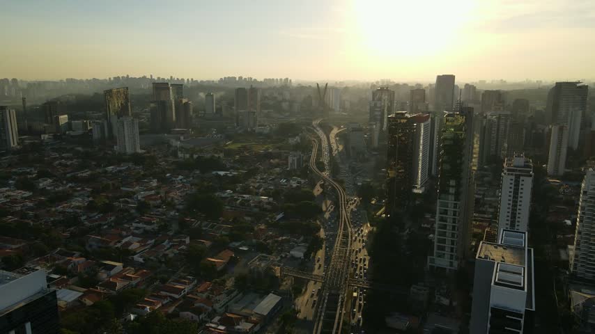
Mario Covas Beltway near Sao Paulo, Brazil. Photo by Maxpana3.

All free photos on this site are public domain. Please consider giving a credit hyperlink to https://www.goodfreephotos.com if you use the photos on this site using the attribution code in the below box. It is not required but it'd be much appreciated.

This photo is under the CC0 / Public Domain License.

Sponsored Images via Shutterstock:

aerial photography of the Mario Covas viaduct in São Vicente, Brazil
View from Pico do Jaragua (Jaragua Peak) of the cloverleaf junction between Rodoanel Mario Covas beltway with Rodovia dos Bandeirantes highway in Sao Paulo - Brazil
Aerial view of Avenida Mário Covas Júnior in Arujá, São Paulo, Brazil. The image highlights the urban layout, traffic flow, and surrounding residential and green areas
Photos of the underground walkway in the south wing located in Brasília, the capital of Brazil.
Parque do Carmo, at the east of Sao Paulo, Brazil.
Coupon Code: GFP15 for 15% off


Similar Images
Slum in Sao Paulo, Brazil Paulista Avenue in 1902 in Sao Paulo, Brazil Founding of São Paulo painting , Brazil Streets and buildings of Sao Paulo, Brazil Night time Cityscape of Sao Paulo, Brazil São Paulo Museum of Art in Sao Paulo, Brazil Commercial buildings in Brooklin Novo, Sao Paulo, Brazil  Ibirapuera Park in Sao Paulo, Brazil Dusk Skyline with skyscrapers and orange Skies in Sao Paulo, Brazil Parque Ibirapuera, São Paulo, Brazil Clear Skyline of Sao Paulo in Brazil Brigadeiro Faria Lima Avenue in Sao Paulo, Brazil Night time City Skyline of Sao Paulo, Brazil Theatro Municipal de São Paulo, Brazil Courtyard of the College in Sao Paulo, Brazil Sao Paulo Cathedral, Brazil Panoramic View of Sao Paulo, Brazil Sky and sun in cityscape in Sao Paulo, Brazil Complete overview of Sao Paulo, Brazil Satellite View of the Greater São Paulo at night Mario Covas Beltway near Sao Paulo, Brazil Italian Immigrants arriving in Sao Paulo, Brazil in 1890 Sao Paulo Japantown, Brazil Full Panoramic of Sao Paulo, Brazil

Sponsored Footage via Shutterstock:
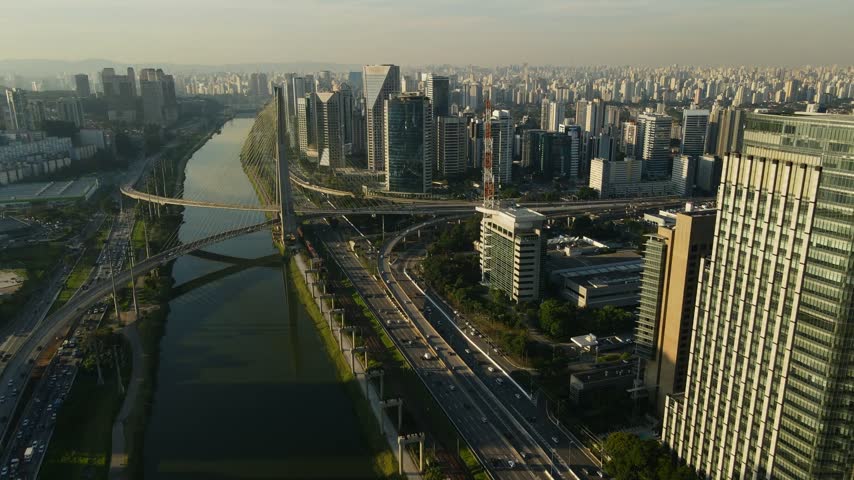
Aerial view of the iconic Octavio Frias de Oliveira cable-stayed bridge spanning the Pinheiros River amidst the modern skyscrapers and busy highways of Sao Paulo, Sao Paulo, Brazil.
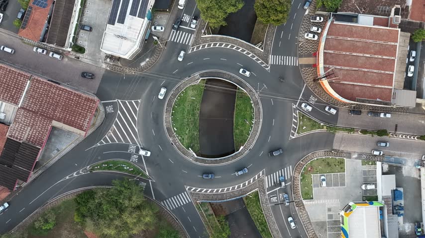
Aerial view of a busy roundabout with cars navigating the intersection and green landscaping in the center in Araras, Sao Paulo, Brazil.
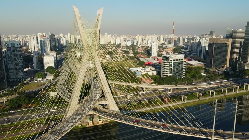
Aerial view of the iconic X-shaped cable-stayed Octavio Frias de Oliveira Bridge spanning the Pinheiros River in Sao Paulo, Sao Paulo, Brazil.
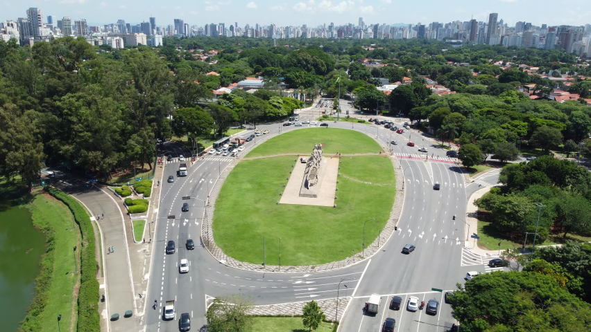
Fly above Armando de Salles Oliveira Square, a major traffic circle in Sao Paulo, Brazil
Vertical aerial view of Avenida Mário Covas Júnior in Arujá, São Paulo, showing traffic, vehicles, and the surrounding urban landscape, highlighting the main road of the city
Aerial view of the iconic Octavio Frias de Oliveira cable-stayed bridge spanning the Pinheiros River amidst the dense urban skyline of Sao Paulo, Sao Paulo, Brazil.


Free Photos > Brazil Photos > Sao Paulo Photos > Mario Covas Beltway near Sao Paulo, Brazil (21/24)

To view or save this photo in High resolution, just click the photo to see the full image(the full image is much higher quality and not pixelated).

Mario Covas Beltway near Sao Paulo, Brazil. Photo by Maxpana3.

All free photos on this site are public domain. Please consider giving a credit hyperlink to https://www.goodfreephotos.com if you use the photos on this site using the attribution code in the below box. It is not required but it'd be much appreciated.

This photo is under the CC0 / Public Domain License.