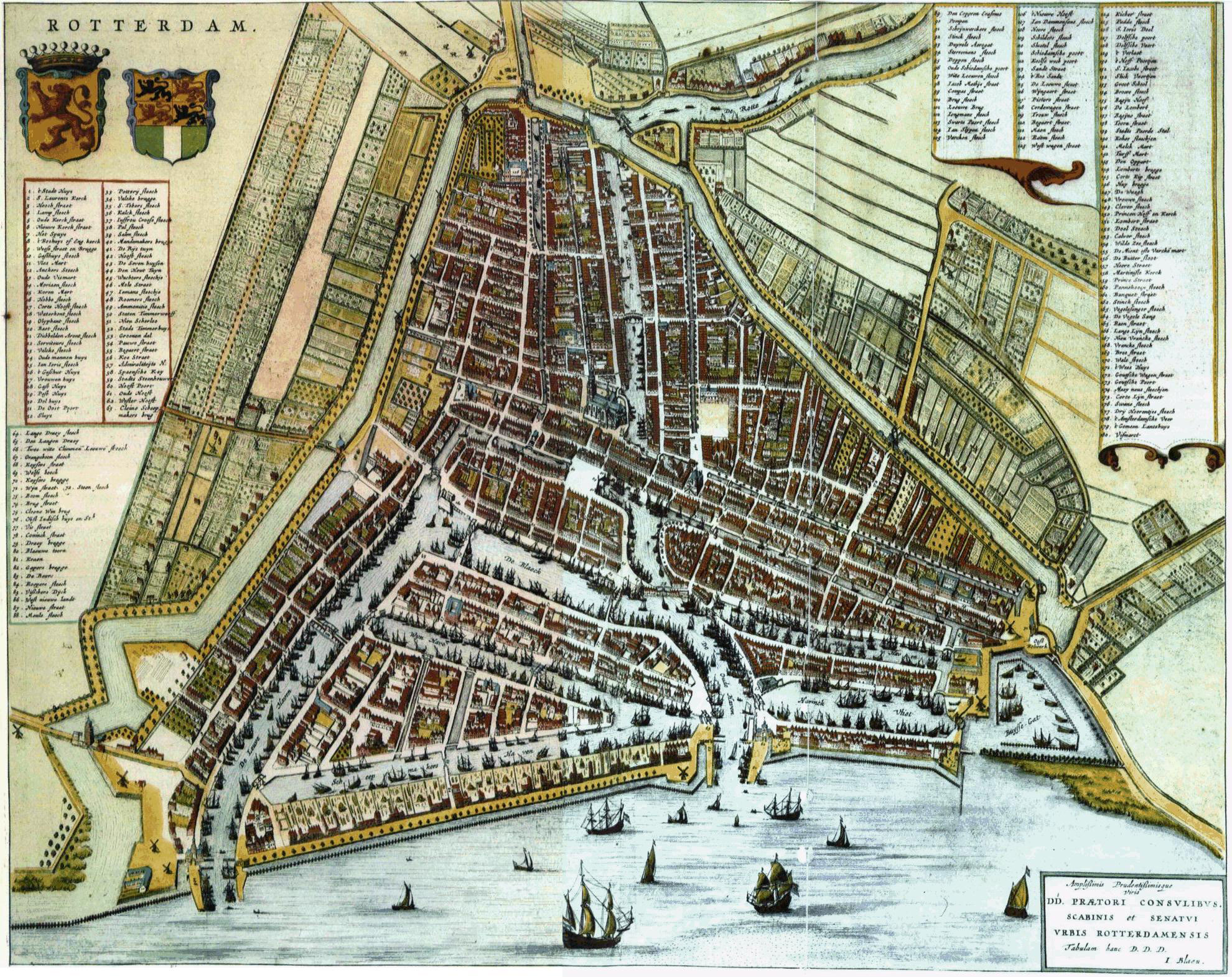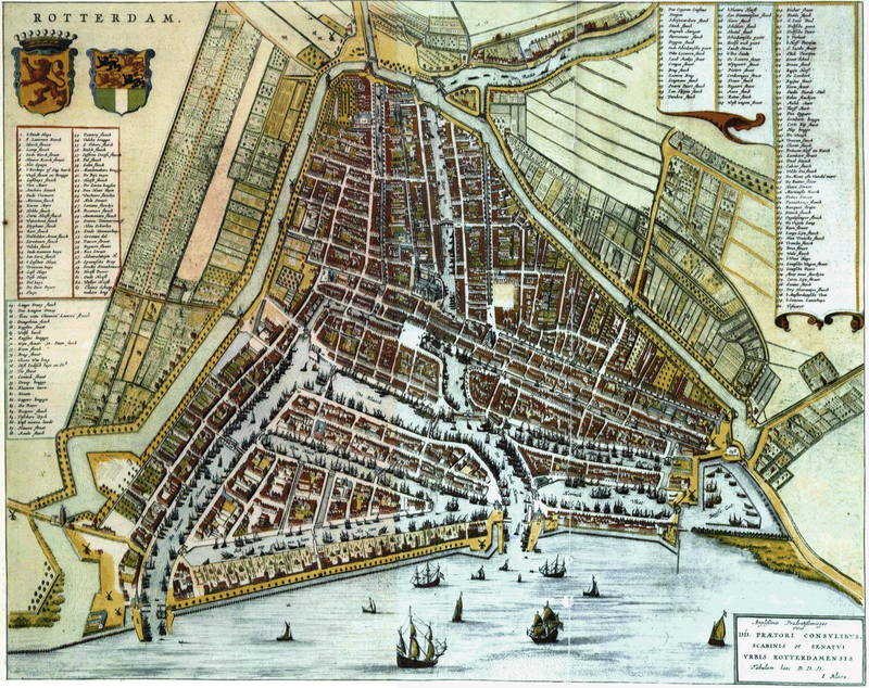
Free Photos > Public Domain Images > Map of Rotterdam in 1652 by Willem and Joan Blaeu, Netherlands (9747/19062)

To view or save this photo in High resolution, just click the photo to see the full image(the full image is much higher quality and not pixelated).

A map sketch of Rotterdam in 1652 by Willem and Joan Blaeu in the Netherlands

All free photos on this site are public domain. Please consider giving a credit hyperlink to https://www.goodfreephotos.com if you use the photos on this site using the attribution code in the below box. It is not required but it'd be much appreciated.

This photo is under the CC0 / Public Domain License.

Sponsored Images via Shutterstock:
Rotterdam on map.
Building view with landmark of Rotterdam is a major port city in the Dutch province of South Holland. Hand drawn sketch illustration in vector.
Rotterdam. Netherlands
Building view with landmark of Rotterdam is a major port city in the Dutch province of South Holland. Hand drawn sketch illustration in vector.
Green hand-drawn framed poster of the downtown ROTTERDAM, NETHERLANDS with highlighted vintage city skyline and lettering
Light printout city poster with panoramic skyline and hand-drawn streets network on vintage beige background of the downtown ROTTERDAM, NETHERLANDS
Coupon Code: GFP15 for 15% off


Similar Images
Rotterdam after bombing of World War 2 in the Netherlands The Delftsevaart in Rotterdam, Netherlands around 1900 Map of Rotterdam in 1652 by Willem and Joan Blaeu, Netherlands Looking at the skyline from the Pier in Amsterdam, Netherlands Big Library in Amsterdam, Netherlands River, tugboats, and landscape in Amsterdam, Netherlands Riverfront View in Amsterdam, Netherlands Streets of Amsterdam, Netherlands Amsterdam on a woodcutting in 1544 Courtyard of Amsterdam Stock Exchange in 1653 in the Netherlands Royal Palace in Amsterdam in 1814 in the Netherlands Airbrush Vector Clipart Smiley Santa Vector Clipart Quill and Inkwell Vector Clipart Candy Corn Vector Clipart NASA X3 Plane vector clipart Happy Green Octopus vector clipart Moonshine drink vector clipart Tractor Vector Clipart Football Vector Clipart House Key Vector Clipart Telescope Vector Clipart Circle web pattern vector clipart Chef Hat vector clipart Cartoon Eyes Vector Clipart Code and stuff on a computer screen vector clipart Large Stone Carvings on Rock Many different Pacmans vector clipart Sun behind the cloud vector clipart Farm landscape illustration vector graphics Bubbles in the water vector clipart Green Tree Python - Morelia viridis Water Droplet in center of leaf Bench in the Autumn Cheesecake Dessert Stars and Nebula in the Universe Foggy and Swampy Landscape in Belgium Misty boardwalk through the swamp in Belgium Kiddie Ride at Abandoned Amusement Park in Dadizele, Belgium Small abandoned house in Dadipark, Dadizele, Belgium Pyramid overlooking Waterloo, Belgium Landscape and highway near Houyet, Belgium Flag of Belgium Charging Soldiers Vector Clipart Kelantan Trade Centre Vector Clipart Millipede Vector Clipart Longhorned Beetle Vector Clipart Aphid Vector Clipart

Sponsored Footage via Shutterstock:
Animated map clip showing Rotterdam highlighted within the Netherlands
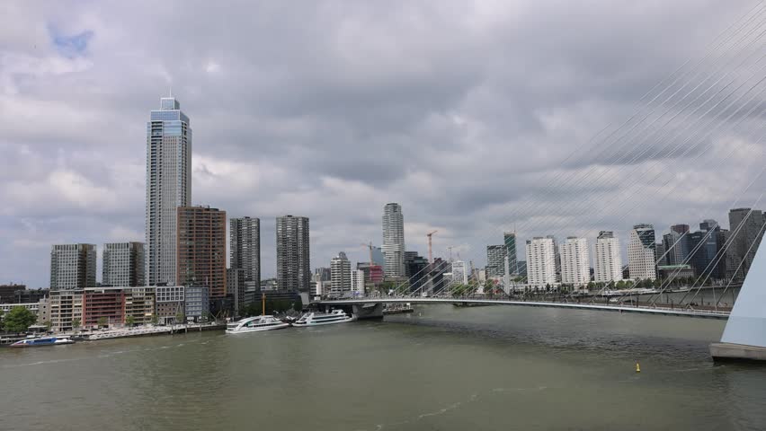
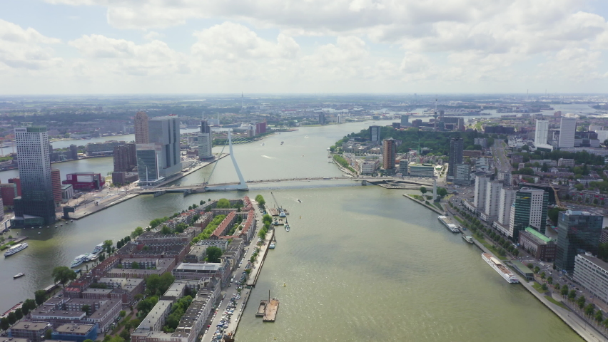
Aerial view of Erasmusbrug cable-stayed bridge and the modern city skyline along the Nieuwe Maas river Rotterdam, Zuid-Holland, Netherlands.
A hand-held magnifying glass moves across a printed map, focusing on a location marked by a colored pin. The destination highlighted is Rotterdam.
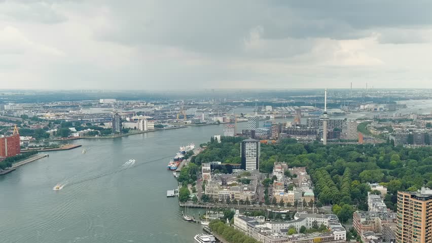
Dolly zoom. Rotterdam, Netherlands. View of the port. River Nieuwe Maas. Summer day, Rainy clouds, Aerial View
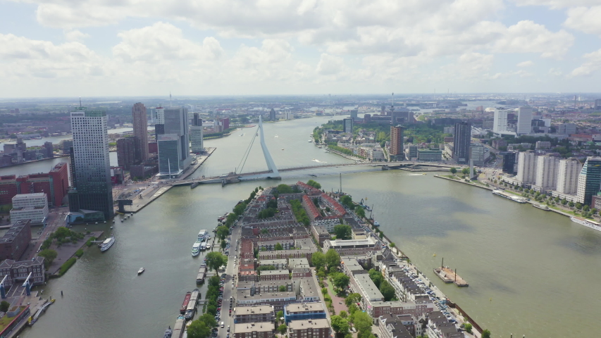
Inscription on video. Rotterdam, Netherlands. Norderayland Island ( North Island ) and Erasmus Bridge ( Erasmusbrug ) over the Nieuwe Maas River. Glitch effect text, Aerial View, Point of interest


Free Photos > Public Domain Images > Map of Rotterdam in 1652 by Willem and Joan Blaeu, Netherlands (9747/19062)

To view or save this photo in High resolution, just click the photo to see the full image(the full image is much higher quality and not pixelated).

A map sketch of Rotterdam in 1652 by Willem and Joan Blaeu in the Netherlands

All free photos on this site are public domain. Please consider giving a credit hyperlink to https://www.goodfreephotos.com if you use the photos on this site using the attribution code in the below box. It is not required but it'd be much appreciated.

This photo is under the CC0 / Public Domain License.