Free Photos > Public Domain Images > Satellite image of Chesapeake Bay from Havre de Grace in Maryland (2355/19062)

To view or save this photo in High resolution, just click the photo to see the full image(the full image is much higher quality and not pixelated).

Satellite image of Chesapeake Bay from Havre de Grace in Maryland. Photo by US Government.

All free photos on this site are public domain. Please consider giving a credit hyperlink to https://www.goodfreephotos.com if you use the photos on this site using the attribution code in the below box. It is not required but it'd be much appreciated.

This photo is under the CC0 / Public Domain License.

Sponsored Images via Shutterstock:
Sunrise over the Chesapeake Bay, in Havre de Grace, Maryland.
Aerial sunset panorama of Havre De Grace Harford County, Maryland, United States, situated at the mouth of the Susquehanna River and the head of Chesapeake Bay one of the best American small towns
Aerial view of Havre de Grace, Maryland waterfront showing residential buildings, marina, shoreline park, and calm river setting. Ideal for real estate, lifestyle, and community concepts.
A panoramic view of the Chesapeake Bay
Havre De Grace, Maryland Dock
Havre De Grace, Maryland on a Summer Day
Coupon Code: GFP15 for 15% off


Similar Images
Episcopal Church in Port Tobacco Village in Maryland Brookeville house black and white in Maryland Satellite image of Chesapeake Bay from Havre de Grace in Maryland Terminus of the Chesapeake and Ohio Canal in Cumberland, Maryland Aerial View of Greenbelt in 1937. Board track racing at Laurel, July 11, 1925 in Maryland Head-on train wreck in Laurel in 1922 in Maryland Panoramic View of Annapolis, Maryland Hagerstown Public Square in Maryland Panoramic Image around city hall in Frederick, Maryland Carroll Creek running through Baker Park in Frederick, Maryland Tree Stump with mushroom fungus around it Round a bout under the sky in Mount Horeb Troll statue in front of a house in Mount Horeb Wooden Statue of a troll in Mount Horeb Thirsty Troll Brewfest in Mount Horeb Banners Large Church in Mount Horeb Chiropractor building house in Mount Horeb Gift Shop house in Mount Horeb Wooden Lawn Troll in Mount Horeb Two troll statues in front of a house in Mount Horeb Wooden side house in Mount Horeb Troll Footprint on the sidewalk in Mount Horeb Troll holding a giant key in Mount Horeb Houses in Mount Horeb under the clouds and sky with cars in front Velkommen welcome center in Mount Horeb Outside dining place on the sidewalk with sky in Mount Horeb Tea and Coffee Shop on the street in Mount Horeb Mount Horeb Innovation Center Pub and Grill shops and Cars in Mount Horeb, Wisconsin Sidewalk View with trees and stores in Mount Horeb, Wisconsin Historium and streetside buildings in Mount Horeb, Wisconsin Street with buildings on the side with clouds in Mount Horeb, Wisconsin Street Corner in Mount Horeb, Wisconsin with Water Tower The Grumpy Troll Tavern with cars in front in Mount Horeb Bike Station under the clouds in Mount Horeb Troll riding a Bicycle Statue at Mount Horeb Fishing Boat on Beach black and white Green tropical forest in Hawaii Glass of Wine, Egg, and Orange Custom House, Completed in 1872 Shiny Wooden Gavel Fork getting into macaroni Using Smartphone to take picture of feet and shoes Visitors to Pope Sunflower Farm in Middleton, Wisconsin Large Sunflowers blooming at the Pope Conservancy Farm Yellow Flowers under the Clouds Farm and Fields under the sky and clouds

Sponsored Footage via Shutterstock:
3D - Drone aerial shot of Chesapeake Bay Bridge in Annapolis. Maryland. United States
Chesapeake Bay coastline in Hampton Virginia, featuring the expansive blue waters of the estuary meeting the suburban shoreline on a clear spring day. 4k wide angle aerial video.
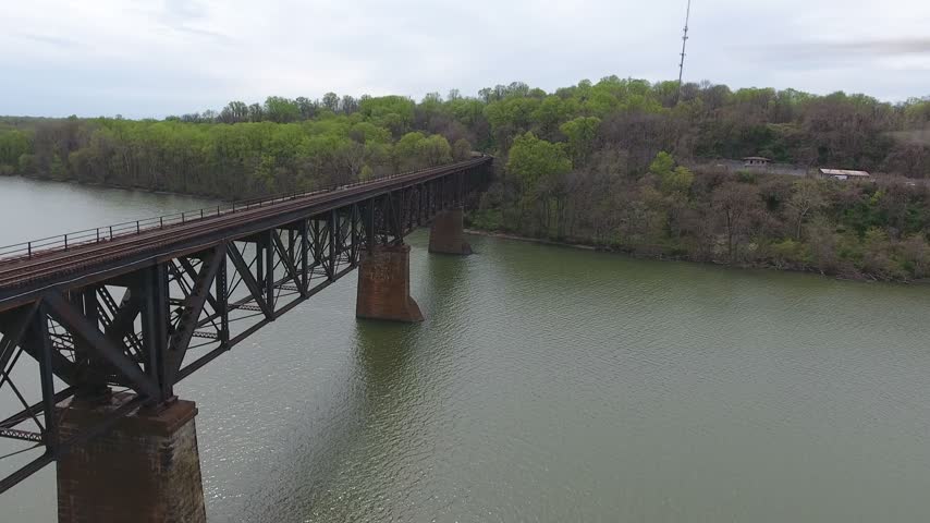
Aerial sweep along a steel railroad truss bridge on stone piers over the Susquehanna River toward the far green wooded shore on an overcast spring day. Havre de Grace, Maryland, USA.
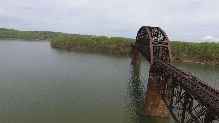
Aerial turn revealing the arched steel truss span of a railroad bridge on stone piers over the Susquehanna River on an overcast spring day, with green shorelines. Havre de Grace, Maryland, USA.
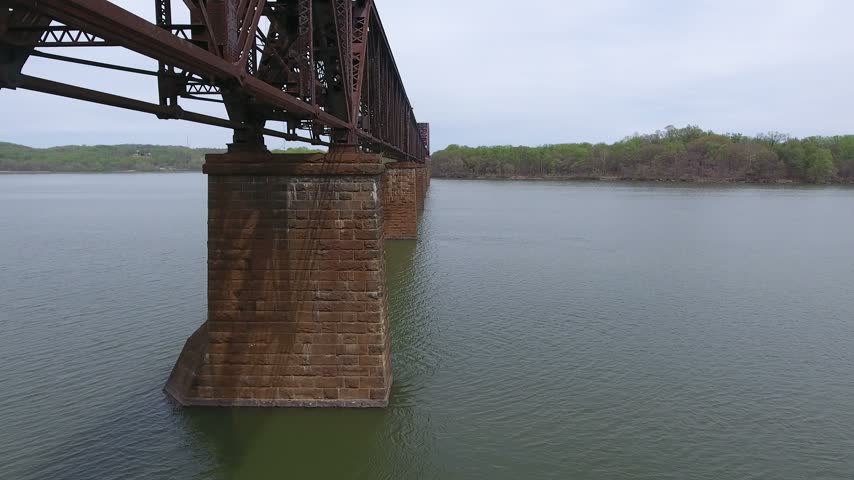
Aerial low glide past the stone piers beneath a steel railroad truss bridge over the calm Susquehanna River on an overcast spring day, with the far wooded shoreline. Havre de Grace, Maryland, USA.
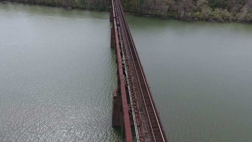
Aerial view of a steel railroad truss bridge deck running diagonally across the Susquehanna River toward a green wooded shoreline on an overcast spring day. Havre de Grace, Maryland, USA.


Free Photos > Public Domain Images > Satellite image of Chesapeake Bay from Havre de Grace in Maryland (2355/19062)

To view or save this photo in High resolution, just click the photo to see the full image(the full image is much higher quality and not pixelated).

Satellite image of Chesapeake Bay from Havre de Grace in Maryland. Photo by US Government.

All free photos on this site are public domain. Please consider giving a credit hyperlink to https://www.goodfreephotos.com if you use the photos on this site using the attribution code in the below box. It is not required but it'd be much appreciated.

This photo is under the CC0 / Public Domain License.