Free Photos > USA Photos > Maryland Photos > Other Maryland Photos > Satellite image of Chesapeake Bay from Havre de Grace in Maryland (7/33)

To view or save this photo in High resolution, just click the photo to see the full image(the full image is much higher quality and not pixelated).

Satellite image of Chesapeake Bay from Havre de Grace in Maryland. Photo by US Government.

All free photos on this site are public domain. Please consider giving a credit hyperlink to https://www.goodfreephotos.com if you use the photos on this site using the attribution code in the below box. It is not required but it'd be much appreciated.

This photo is under the CC0 / Public Domain License.

Sponsored Images via Shutterstock:
A beautiful view of the Chesapeake Bay in Havre de Grace, Maryland. Maryland. A sailboat is anchored in place and a parasailer is in the background.
Sunrise over dock and the Chesapeake Bay, in Havre de Grace, Maryland.
Aerial landscape of Chesapeake Bay in Maryland, USA, featuring winding coastal waterways, green wetlands, calm blue water, and natural shoreline patterns. A peaceful estuary landscape photographed in soft morning sunlight.
Aerial view of Havre de Grace, Maryland waterfront showing residential buildings, marina, shoreline park, and calm river setting. Ideal for real estate, lifestyle, and community concepts.
A panoramic view of the Chesapeake Bay
Chesapeake Bay Maryland shoreline from drone above
Coupon Code: GFP15 for 15% off


Similar Images
Trees and boardwalk in the forest Blue Ridge Summit overlook in Frederick, Maryland Misty forest with Dogwood Tree Rocks, forest, and trees Episcopal Church in Port Tobacco Village in Maryland Brookeville house black and white in Maryland Satellite image of Chesapeake Bay from Havre de Grace in Maryland Terminus of the Chesapeake and Ohio Canal in Cumberland, Maryland Aerial View of Greenbelt in 1937. Board track racing at Laurel, July 11, 1925 in Maryland Head-on train wreck in Laurel in 1922 in Maryland Panoramic View of Annapolis, Maryland Hagerstown Public Square in Maryland Panoramic Image around city hall in Frederick, Maryland Carroll Creek running through Baker Park in Frederick, Maryland Rocky Gorge Reservoir lake landscape Grain elevators in Queen Anne, Maryland Town Hall in Port Deposit, Maryland Gerry House in Port Deposit, Maryland Lutheran White Oak in Manchester, Maryland Understory Burn of the forest in Maryland Aerial View of Forest and Marshes in Maryland Leland Hospital in Riverdale, Maryland Streets, wires, and shops in Manchester, Maryland Hyattsville Post Office building in Maryland City Hall in Frederick in Maryland Hager House and Museum in Hagerstown, Maryland More houses along main street in Port Deposit, Maryland Main Street in historic Port Deposit in Maryland Historic buildings in Port Deposit, Maryland Church Building in Saint Michaels, Maryland Still Creek in Greenbelt Park in the Winter in Maryland Sign near Antietam National Battlefield, Maryland

Sponsored Footage via Shutterstock:
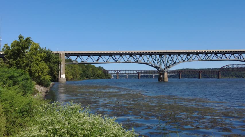
The view of Thomas J. Hatem Memorial Bridge and Susquehanna River on a sunny day near Havre de Grace, Maryland, U.S.A
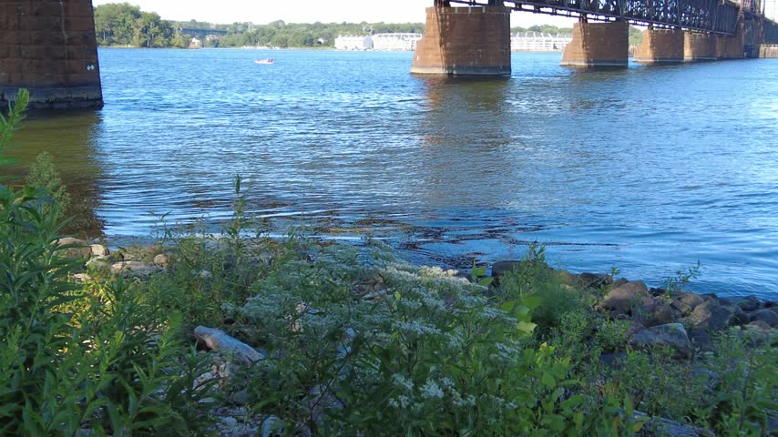
 The view of Susquehanna River Rail Bridge with passing boat on a bright, clear day near Havre de Grace, Maryland, U.S.A
3D - Drone aerial shot of Chesapeake Bay Bridge in Annapolis. Maryland. United States
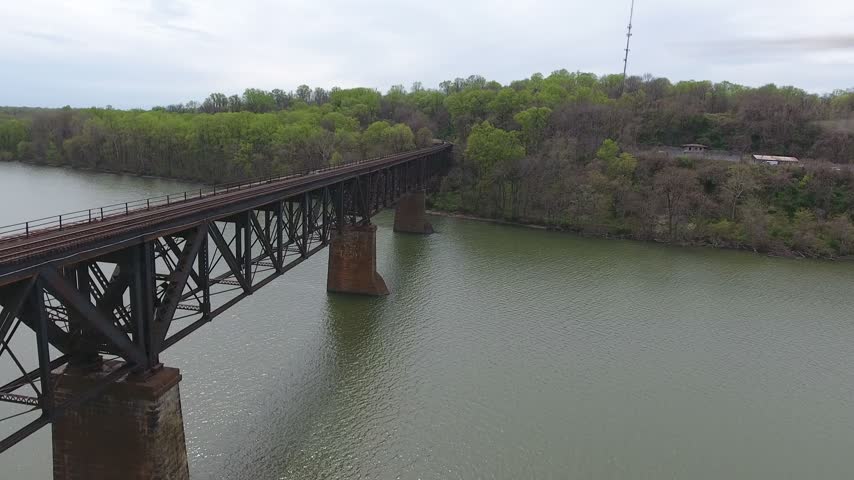
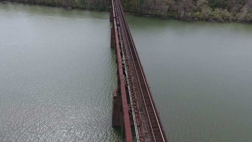
Aerial sweep along a steel railroad truss bridge on stone piers over the Susquehanna River toward the far green wooded shore on an overcast spring day. Havre de Grace, Maryland, USA.
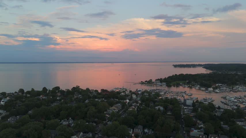
Sunset Sky Reflected Over Chesapeake Bay Waters, Annapolis Coastal Neighborhoods, And Waterfront Marinas in Maryland, USA. - aerial shot
Aerial view of a steel railroad truss bridge deck running diagonally across the Susquehanna River toward a green wooded shoreline on an overcast spring day. Havre de Grace, Maryland, USA.


Free Photos > USA Photos > Maryland Photos > Other Maryland Photos > Satellite image of Chesapeake Bay from Havre de Grace in Maryland (7/33)

To view or save this photo in High resolution, just click the photo to see the full image(the full image is much higher quality and not pixelated).

Satellite image of Chesapeake Bay from Havre de Grace in Maryland. Photo by US Government.

All free photos on this site are public domain. Please consider giving a credit hyperlink to https://www.goodfreephotos.com if you use the photos on this site using the attribution code in the below box. It is not required but it'd be much appreciated.

This photo is under the CC0 / Public Domain License.